


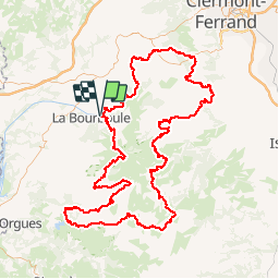
gr30 tour des volcans et lacs d auvergne puy de dome
ULTR@ TREK
LOIN ET LÉGER


--
Difficulty : Unknown

FREE GPS app for hiking
 SityTrail
IGN / Geographical institutes
SityTrail Plus
The world is yours!
About
Trail Walking of 199 km to be discovered at Auvergne-Rhône-Alpes, Puy-de-Dôme, La Bourboule. This trail is proposed by ULTR@ TREK.
Description
Une boucle Ultrasympa qui demande un peu d'engagement quand même sur certaine portion.
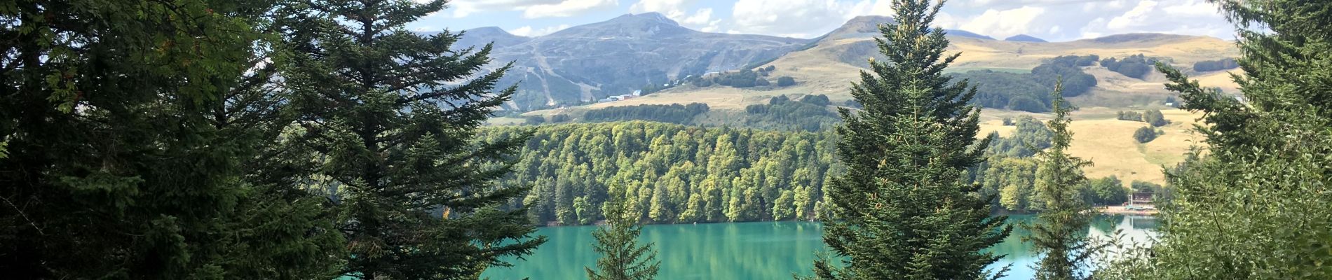
Des paysages variés et magnifiques.
Possibilité de ravitaillement sans dévié du GR à Besse, saint nectaire et le Lac Chambon par exemple.
Attention au ravitaillement en eau, 2l minimum, le bivouac est facile sur tout le tracé (zéro trace bien sur)
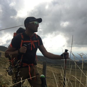
Photos


Positioning
Comments